
Luke's geospatial and scenario expertise helps coordinate land use and livelihoods in the Arctic
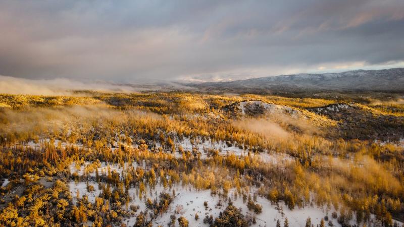
Interest in the Arctic and its natural resources is growing worldwide and is expected to increase as the climate warms. At the same time, competition between different industries is increasing. Tourism, forestry, fish farming, and mining all affect each other, as well as the livelihoods of indigenous peoples, such as reindeer husbandry.
"In order to be able to reconcile their aspirations with each other, the parties must have access to comprehensive information about these aspirations and the challenges brought by the circumstances. We are developing tools for this purpose in the international EU-funded ArcticHubs project," says Pasi Rautio, research professor at Luke, who leads the project.
The ArcticHubs project has brought together experts from 21 research institutes and companies in ten countries. Some researchers study the drivers of global change, such as climate change, and assess what changes may occur locally in the Arctic. This foundation helps the tool developers to ensure that data collection and joint workshops between the parties prepare for the future in addition to the current state.
Different parties on the same electronic map
The Public Participation Geographic Information System (PPGIS) is one of the development targets of the ArcticHubs project. The method is based on maps, on which, for example, local residents, authorities and industry representatives can mark areas that they consider suitable for industrial development or problematic from a land use point of view, and offer justifications.
"At Luke, we have years of experience in using and developing the PPGIS method, as well as in cooperation with a Finnish system supplier that participates in this project as well," Rautio says.
In the ArcticHubs project, the PPGIS method is being developed and tested, for example, in Inari, where tourism, forestry and reindeer husbandry meet, and in the Norwegian fjords, where the interests of fish farmers and cruise entrepreneurs intersect.
"While we test and develop methods, we also contribute to the resolution of the conflicts in question."
Scenarios help prepare for the future
Another method developed in the ArcticHubs project is to obtain a social license to operate, i.e. general acceptance, through dialogue with the local community. The third method of the project is also based on dialogue: workshops in which local residents, industry representatives and stakeholders outline alternative future scenarios for the area in question. Luke's researchers offer the workshops their experience in scenario work, which they have developed in numerous national and international projects.
Throughout the project, Luke also utilizes and develops its expertise in different industries, such as forestry.
"At Luke, we have been studying continuous forest management for a long time. It aims to avoid clear felling that modifies forest habitats and may result in conflicts. In the ArcticHubs project, we are investigating with our Swedish colleagues how a small and intelligent forest machine could thin out and plant forests in a way that would leave as few traces on nature as possible," Rautio explains.
The development work in the ArcticHubs project is focused on the Arctic regions in the Nordic countries, including the Faroe Islands and Greenland, but the researchers will also study land use conflicts and their resolution methods in Italy, Austria and Canada.
"A common change in many areas and industries is the shortening of the snow season. This affects both tourism and forestry, and we need to be prepared.”
Who's leading the project?

Text: Marianna Salin