Biomasses of Biomass Atlas
On this page
General information
In Biomass Atlas you will find GIS data and maps of different biomass and land use types:
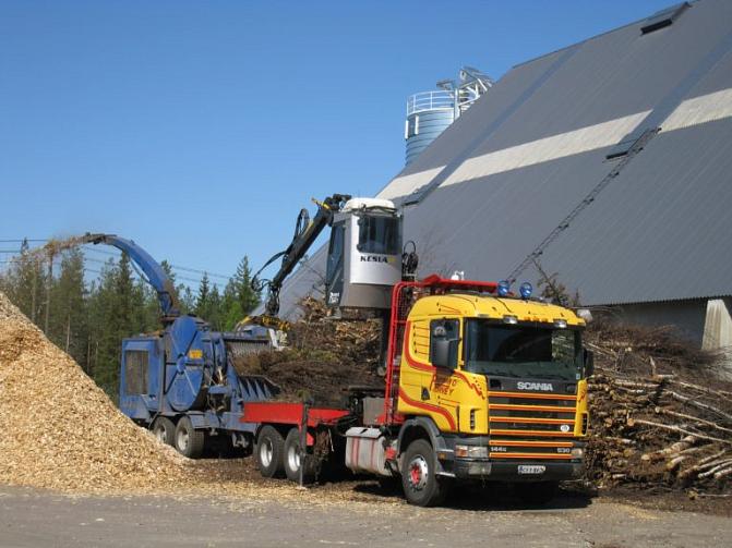
- forest chip potential
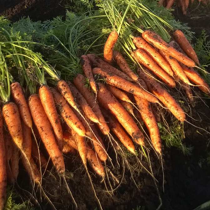
- field and crop areas
- crops and crop side streams
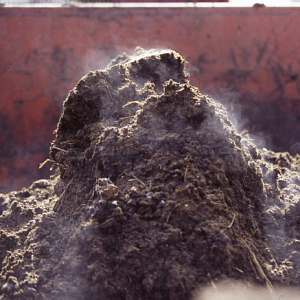
- manure of production animals
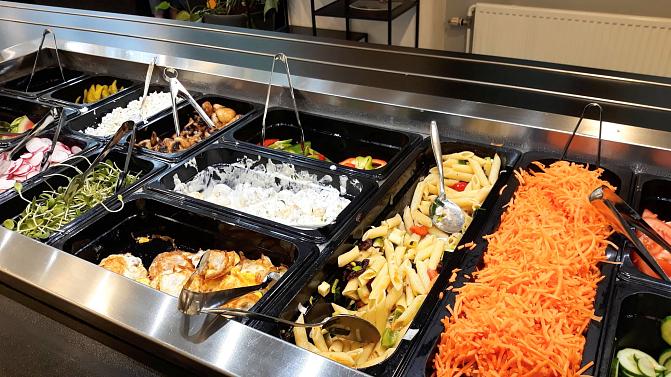
- municipal bio-waste
- biodegradable waste from companies in scale that requires environmental authorization (YLVA-database)
In this section, the biomasses are presented in more detail: where they are produced and what are their most typical uses and recovery methods. The sections also explain how the data for each biomass was entered into the Biomass Atlas.
Data on crops, field area and waste are updated in the Biomass Atlas approximately every three years. Manure data are updated as necessary and forest biomass data are updated approximately every five years. All data in the Biomass Atlas are described in Finnish metadataportal for geodata (www.paikkatietohakemisto.fi) (descriptions can be found by searching for "biomass").


Page
Forests and forestry


